Top 5 waterfalls
to explore in Marquette, MI
There’s a lot of hidden beauty in and around Marquette, and one of them is Waterfalls! A lot of people believe waterfalls provide a break from city life. With that said, let’s explore some of the best waterfalls in Marquette, MI, all just waiting to be discovered by you! And we bet you will want to visit them sooner rather than later. Also, free parking is available on all the listed waterfall sites.
Morgan Falls
5.5 miles | 12 minutes
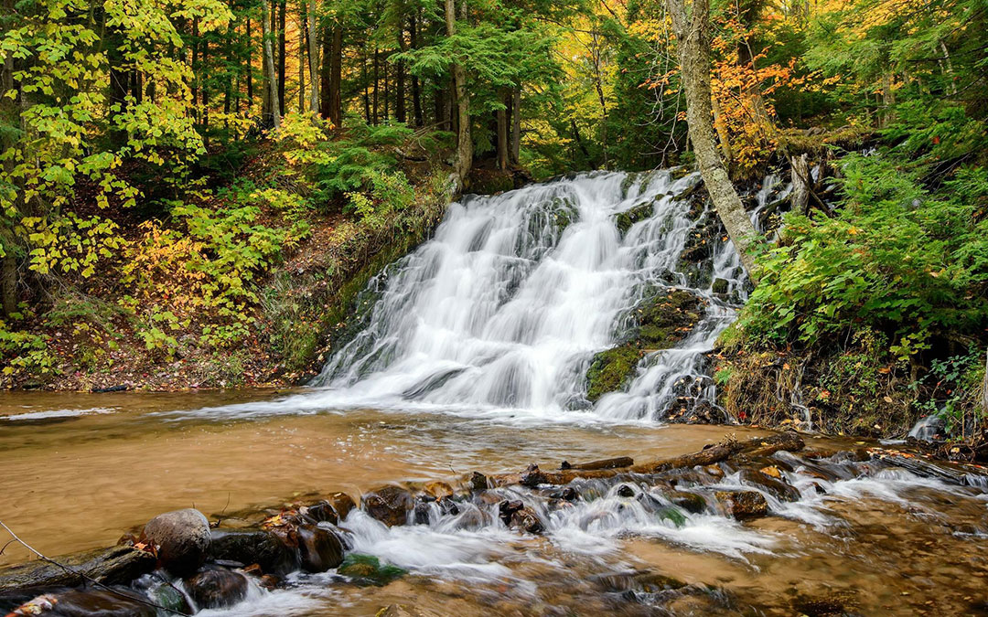
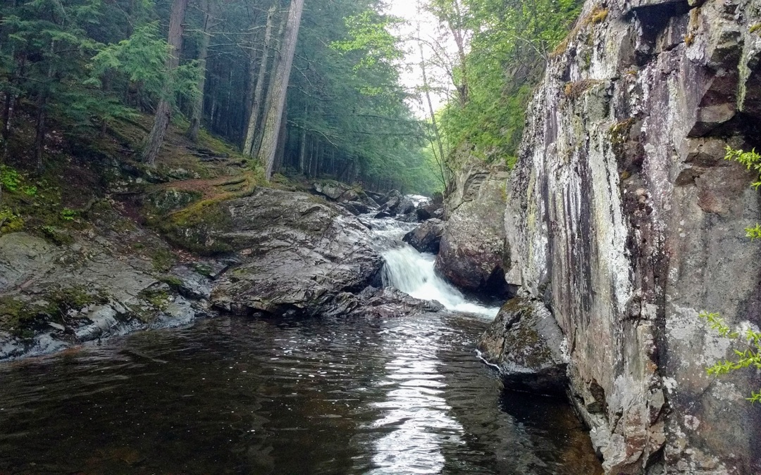
Morgan Falls is an easy-rated trail located less than a 12-minute drive from, which features waterfalls. A series of drops from, as the waterfalls over the rocks tracing the river bed. The pattern continues for about 100 feet before the river turns slowly on its way. The fall has a picturesque trail of approximately 2.8 miles long and is primarily used by hikers and bikers. Once at the falls, there are several areas to relax and enjoy the views and sounds. Close to Morgan Falls is the Carp River falls. The hike is good for all skill levels. See and experience the majestic Morgan Falls. Head out from Superior Stay Hotel to south on N 3rd St toward W Kaye Ave and travel via Division St and Marquette Mt Rd to reach the falls within 11minutes.
Reany Falls
5.9 miles | 13 minutes
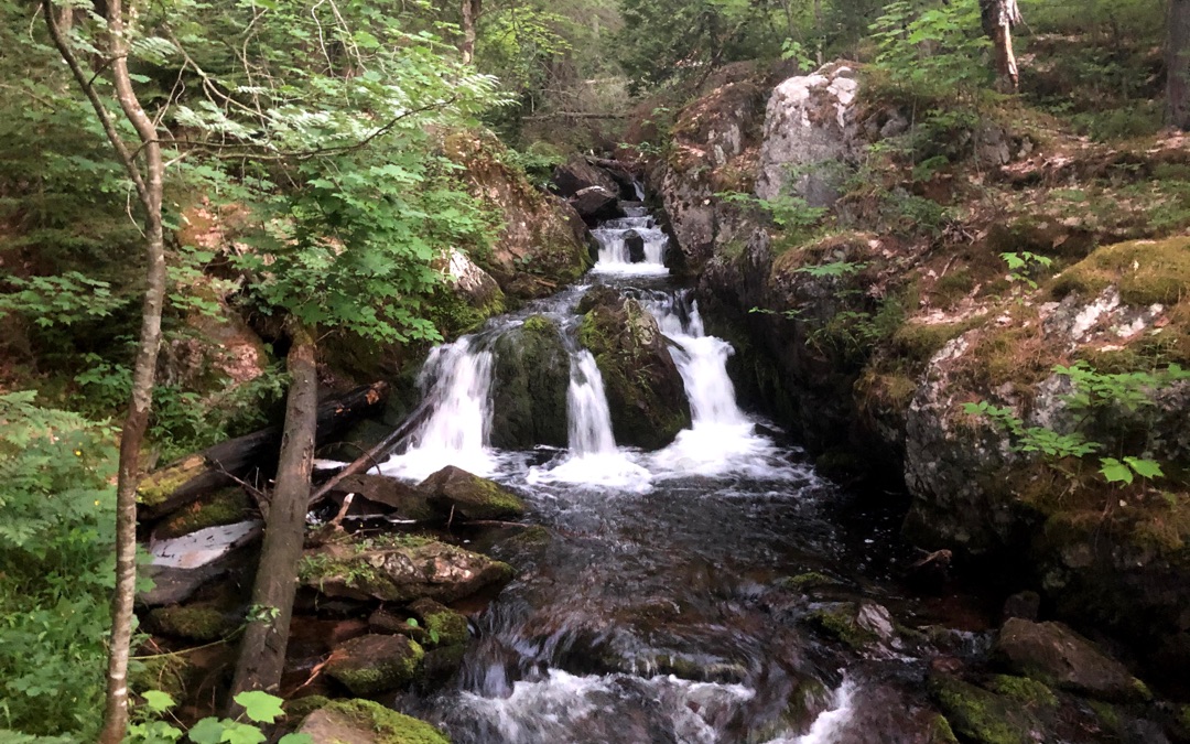
Reany Falls is a slight but fast-flowing waterfall, forming a chain of rapids as it falls over the rocks bulging out of Reany Creek. It’s a great option to explore waterfalls for those unable to make some of the longer hikes. It’s easy to reach, as it’s located on the way to the Dead River Falls at Forestville Road. Take W Fair Ave to Presque Isle Ave, as you come out of Superior Stay Hotel on N 3rd Street and Take Wright St and continue on Forestville Rd to get to Reany Falls in about 12 minutes.
Warner Falls
16.2 miles | 23 minutes
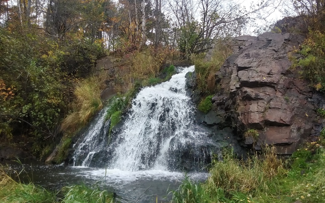
Warner Falls is the farthest waterfall of all from the Superior Stay Hote, yet it is very beautiful. It’s small, easily accessible, and located on the roadside; also, you can see the glimpse of the falls from the highway itself. The trail starts on the south end of the guardrail on M35 and follows it back to the route. Another trail from the falls takes you to a small red sign that points you to the picture point to get some breathtaking shots. And if you have some time left with you, you can also visit Schweitzer Falls, which is just miles away from Warner falls. You can reach Warner falls via Co Rd 492 and M-35 S, that’s the fastest route to get there.
Carp River Falls
12.9 miles | 21 minutes
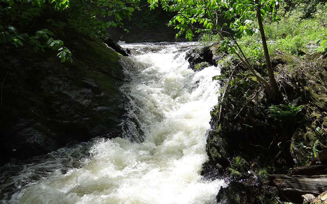
When beginning the Carp river Falls hike, you will be welcomed with the river’s loud noise as it drops twenty feet into Morgan Creek. This fall is a bit challenging to navigate as it’s not marked well, but it’s just half a mile long, and people follow the sound of rushing water to get to the falls; interesting! Carp river falls and Morgan falls are close, so check out both on the same day and save time. But Carp River falls is more challenging than the Morgan Falls hike. Headout of Superior Stay and take N 7th St and Grove St to M-553 S and Continue driving to Sands Township. Finally, Take the Co Rd NP to reach the falls.
Little Garlic Falls
14.3 miles | 22 minutes
Little Garlic Falls is the most difficult-to-reach fall on this list. It’s a small and less crowded fall. You can drive your car till you see the North country trail board. The trail after that has to be covered on foot; it’s a well-marked trail of about 2 miles. The area also has camping places and people also come for a fun fishing day here. Head north on N 3rd St and after a few lefts and rights you’ll reach Big Bay Rd where you’ll continue driving for up to 11.6miles and left to reach the Little Garlic Falls.
What to carry for your waterfall hike?
With certainty having inappropriate shoes can make you turn back mid-hike because your knees and feet hurt. But what else would you need to enjoy a good waterfall hike? Here is our guide for gear for waterfall hiking.
- Hiking Boots: Wear boots with Gore-tex technology so you can get through creeks and streams without soaking your socks. Excess moisture in your shoes can cause blisters as well as fungal infections.
- Navigation equipment: Google Maps or Apple Maps sometimes lack information for off-the-path places like waterfalls. Therefore, reverting to the tried-and-true old-school mapping tools like Maps and compasses can save you where the other techy resources have failed.
- Sunscreen, Lip Balm, and Insect Repellant: Keep skin protection creams and sprays like sunscreen for the body, lip balm for cracked lips due to dehydration, and insect repellant bug bites and rashes that is normal when you go for outdoor adventure.
- Hat and sunglasses: Broad-brimmed hats and sunglasses provide a natural means of sun protection from skin cancer and cataracts. So we consider these things as one of the essential travel gear.
- Wool Socks: In socks, we prefer woolens because socks are also a very underrated but essential part of hiking. They take moisture away from the feet, thereby lessening the possibility of sores and blisters.
- Water Bottle: We would recommend using reusable water bottles as they curb the use of plastics.
- First Aids: Bandages and some antimicrobial cream can’t hurt. If you get a bruise or cut, you can apply some and carry on.
To schedule your waterfall hike
So, this was our guide to nearby waterfalls from Superior Stay Hotel. To schedule your guided waterfall hike with a local area Professional Guide, please email us and we will put you in touch with local professional Guides so you can discuss your specific plans and needs with them directly. Please email us at GuestServices@SuperiorStayHotel.com with your name, number of guests in your party, your cell phone number and when would you like to go on a hike.
OR
Fill out this form.


